Close this alert
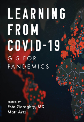
Learning from Covid-19: GIS for Pandemics (Applying GIS #8)
Current price:
$23.99
Publication Date: August 16th, 2022
Publisher:
Esri Press
ISBN:
9781589487116
Pages:
204
Usually Ships in 3 to 8 Days
Description
Now that the health community is in a state of reflection, how do we put the lessons learned into practice?
As we step back to examine the worldwide response to the COVID-19 pandemic, now is the time to think about how to raise the bar for our response to the next public health emergency. Now is the time to revisit health preparedness strategies and plans. And now is the time to review what the health community did that worked--and how we can do that again.
Learning from COVID-19: GIS for Pandemics tells real-life stories about how spatial thinking became invaluable in both local and full-scale outbreaks during the COVID-19 pandemic.
Needing to answer the question of "where" sat at the forefront of everyone's mind, and using a geographic information system (GIS) for real-time surveillance transformed possibly overwhelming data into location intelligence that provided agencies and civic leaders with valuable insights.
Co-edited by Esri chief medical officer Dr. Este Geraghty, this book highlights best practices, key GIS capabilities, and lessons learned during the COVID-19 response that can help communities prepare for the next crisis. GIS has empowered:
- Communities to monitor their health care systems' capacity through spatially enabled surge tools
- Governments to use location-allocation methods to site new resources (i.e., testing sites and augmented care sites) in ways that account for at-risk and vulnerable populations
- Communities to use maps and spatial analysis to review case trends at local levels to support reopening of economies
- Organizations to think spatially as they consider "back-to-the-workplace" plans that account for physical distancing and employee safety needs
Learning from COVID-19 also includes a "next steps" section that provides ideas, strategies, tools, and actions to help jump-start your own use of GIS, either as a citizen scientist or a health professional. A collection of online resources, including additional stories, videos, new ideas and concepts, and downloadable tools and content, complements this book.
Now is the time to use science and data to make informed decisions for our future, and this book shows us how we can do it.
Other Books in Series
Preorder
Mission-Critical Mapping: GIS for Defense and Intelligence (Applying GIS)
Paperback
Dealing with Disasters: GIS for Emergency Management (Applying GIS #2)
Paperback
Managing Our World: GIS for Natural Resources (Applying GIS #13)
Paperback
Prepare, Respond, Renew: GIS for Wildland Fire (Applying GIS)
Paperback
Creating a Smarter Campus: GIS for Education (Applying GIS #11)
Paperback
Finding a Sustainable Balance: GIS for Environmental Management (Applying GIS)
Paperback
Protecting the People: GIS for Law Enforcement (Applying GIS #9)
Paperback
Keeping People Safe: GIS for Public Safety (Applying GIS #5)
Paperback
Working Beyond Borders: GIS for Geospatial Collaboration (Applying GIS)
Paperback
Addressing Earth's Challenges: GIS for Earth Sciences (Applying GIS)
Paperback
Building a Smarter Community: GIS for State and Local Government (Applying GIS #3)
Paperback
Preserving Our Planet: GIS for Conservation (Applying GIS #12)
Paperback
Designing Our Future: GIS for Architecture, Engineering & Construction (Applying GIS #10)
Paperback
Moving Forward: GIS for Transportation (Applying GIS #4)
Paperback
Mapping Community Health: GIS for Health and Human Services (Applying GIS #6)
Paperback
Valuing Place and Purpose: GIS for Land Administration (Applying GIS #7)
Paperback
Delivering Water and Power: GIS for Utilities (Applying GIS #1)
Paperback
Mapping Your Mission: GIS for Nonprofits (Applying GIS)
Paperback